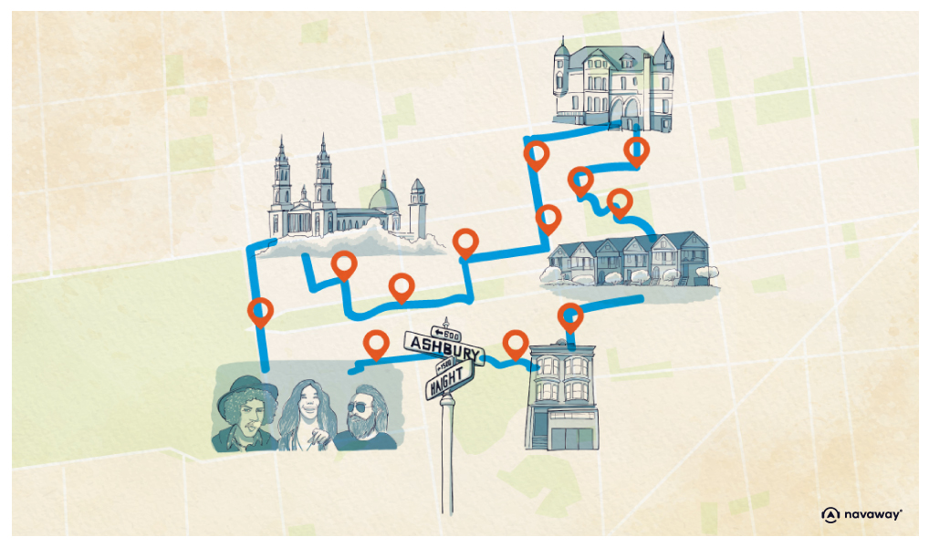
Divisadero Street
This point of interest is available as audio on the tour: Visit San Francisco, The Summer of Love
You’re now on Divisadero Street, which, as its name suggests, divides San Francisco in two from North to South. It runs from Marina Street in the North to Castro Street in the South. Its history begins with that of the city. In 1776, Spanish Franciscan missionaries held their first mass in the Mission district, and San Francisco was born. Shortly afterwards, to protect their mission and civilian population, the Spanish built a military fort: the Presidio, on the North side of the peninsula, in what is now the park of the same name. As the two areas were separated by around 5 km, a direct route was created to join them. Then, when California was no longer run by the Spanish, but by the Mexicans, a “pueblo” was established on the eastern side of the peninsula and became Yerba Buena, the Spanish name for the wild mint that covered the hills. This long street then became Divisadero, either because it divides and delimits the Presidio and Mission part of the new Yerba Buena pueblo, or from its Spanish meaning “divisar”, meaning to see from a distance, in reference to Lone Mountain, which offers a panoramic view of the bay. In any case, before it was called Divisadero, this road was nicknamed “Lover’s Lane”, as it was here that soldiers would meet their sweethearts during the Civil War. A portion of San Francisco’s oldest road is still called Lover’s Lane. Accessible from the heart of Presidio Park, it offers a magnificent stroll across century-old trees.
Discover other tours to visit San Francisco

Discover San Francisco with app
An interactive guide through the most beautiful streets, squares, and districts
20 fun audioguides full of historical facts, anecdotes, and legends

Comments