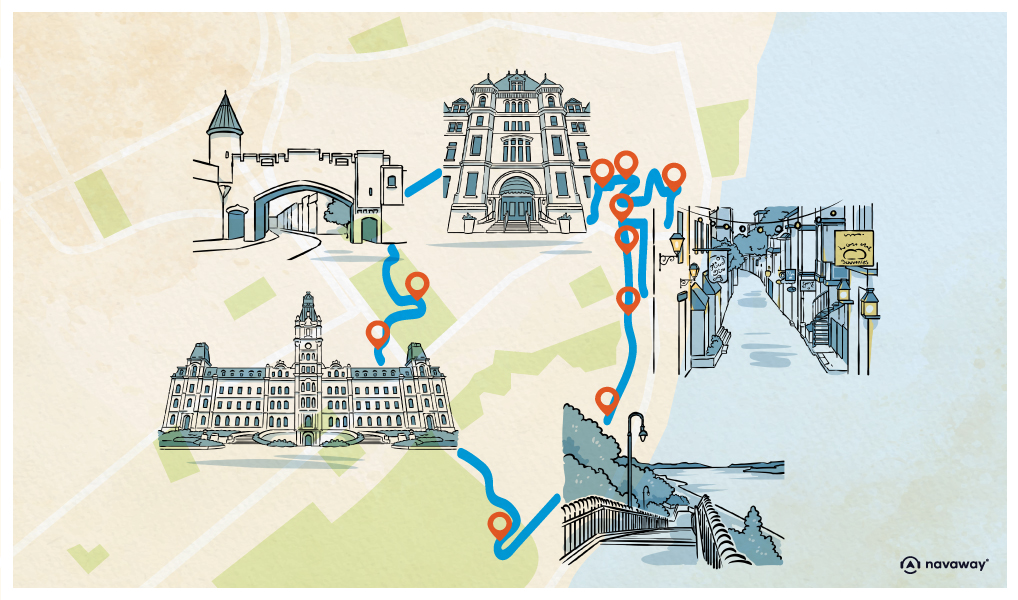
Saint Lawrence viewpoint

This point of interest is available as audio on the tour: Visit Quebec, Whispers of the Past
This promenade ends with a sweeping view over the Saint Lawrence river, one of the longest rivers in the world, stretching nearly 1200 kilometres. It links the Great Lakes to the Atlantic Ocean, and serves as their only natural outlet. Its estuary is the largest on the planet—370 kilometres long and 48 kilometres wide. It also serves as a natural border between Canada and the United States. Beyond its impressive geographic and economic role, the Saint Lawrence is also a powerful symbol in Canadian history. When European explorers first arrived and mapped out the continent, they did so along this river—paving the way for colonisation. On August 10th, 1535, Jacques Cartier reached the river’s mouth. Mistaking it for a bay, he named it Saint Lawrence, after the feast day of Saint Lawrence of Rome. Realising his mistake, he continued up the river, which Indigenous people call “the river that walks.” At the time, ships could only navigate as far as Montreal, where the Lachine Rapids blocked further passage. The construction of the Lachine Canal eventually allowed ships to bypass the rapids, and continue to Lake Superior. In winter, icebreakers travel up the river to keep shipping routes open. They begin operating in December and continue until the end of March. Sightseeing cruises are also available, if you’d like a more immersive experience along the river. In 2017, the Saint Lawrence River was officially recognised as a National Historic Site by Quebec’s Ministry of Culture and Communications – a fitting tribute to a river that has shaped the region’s past and present.
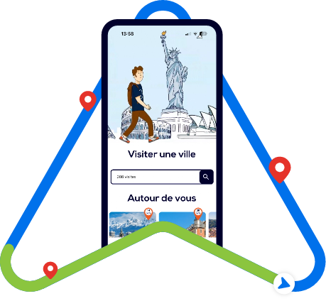
Discover Quebec with app
An interactive guide through the most beautiful streets, squares, and districts
24 fun audioguides full of historical facts, anecdotes, and legends

Comments